St Margaret's car park
Top image is looking north west in 1011.
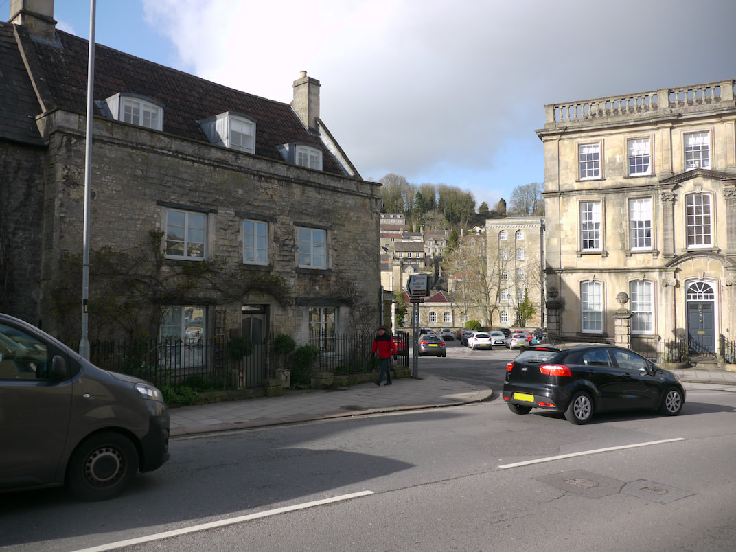
Bottom image is the same view today, which looks across St Margaret's hall car park.
Bottom image is the same view today, which looks across St Margaret's hall car park.
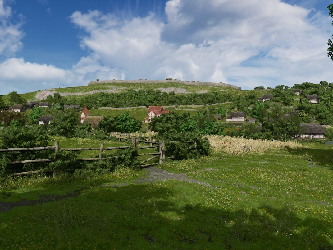
The Saxon church is the red roofed building in the centre of the 1011 photo. To it's right is a wooden home, off Rosemary walk, who's postholes were excavated in 1995, and to the left of the Saxon church is the parish church.
|
The strip of woodland coppice that covers half the hillside, appears as the earliest recorded land use on the map of Wiltshire, published by Andrews and Dury in 1773 and 1810, (which is a copy of an earlier map of Bradford on Avon from around 1500) If these strips of woodland were bounded by impenetrable thicket, they make perfect sense. Mounting an attack on this part of the fort walls leaves you unable to easily retreat, pinned against the thicket, your only option is to run like hell the full length of the woodland, while under fire, back to where you came in. |
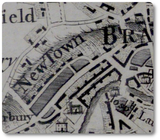
A map from around 1500 was copied to create the Bradford on Avon section of the Andrews and Dury map of Wiltshire 1773 and 1810. Here it is showing the strip of coppice cross hatched. (Map reproduced by kind permission of the Wiltshire history centre.)
|
back to HomePage. |

|
