The Inn & Market Place
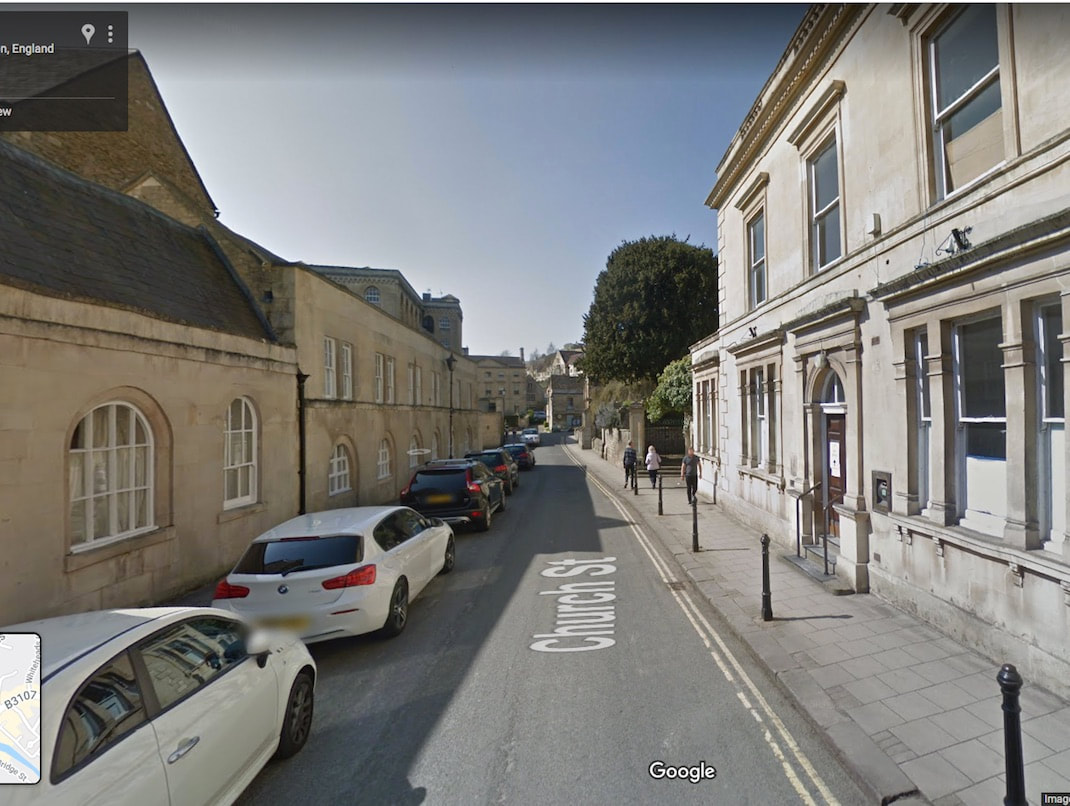
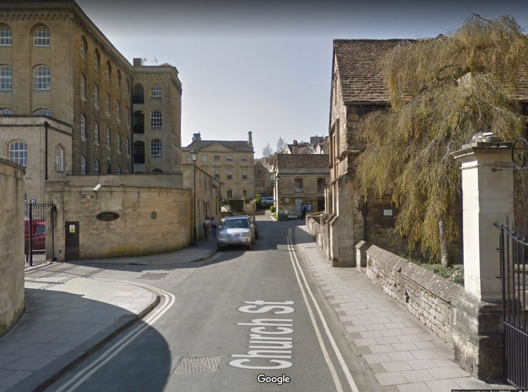
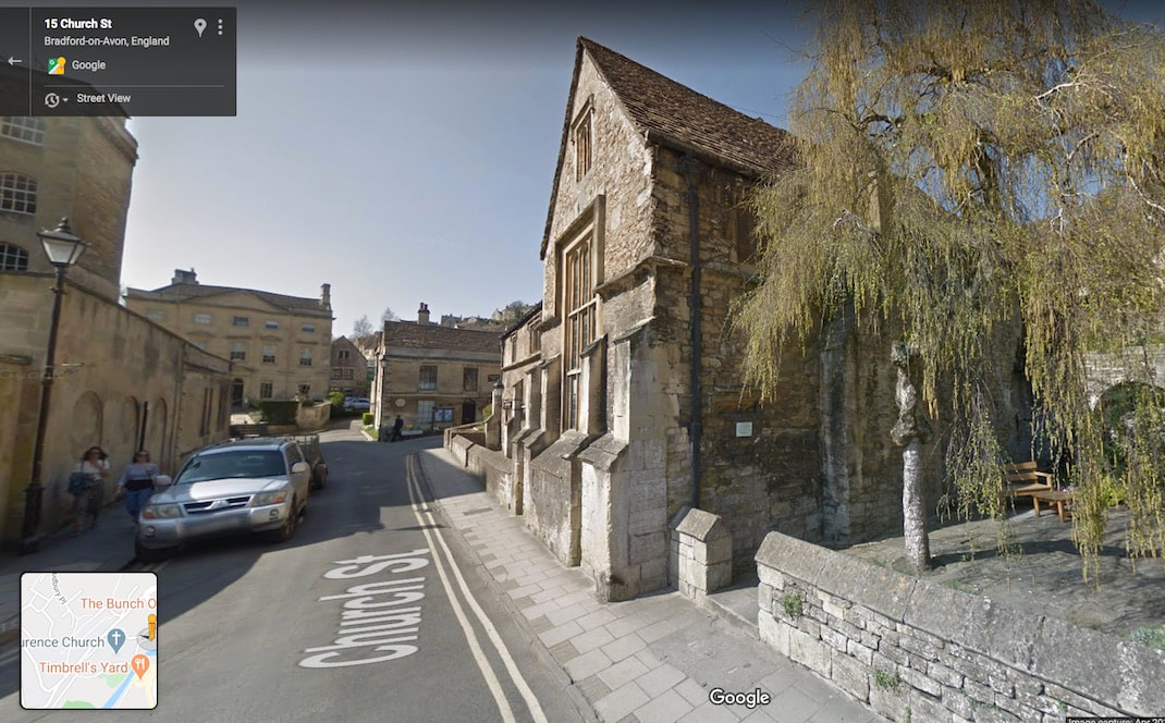
We're starting with a Google Streetview of Church street and if you look at the same view in 1011 below it
we're not staying on he main road that bares right. We're taking the left turn off the main road to the packhorse way station, market, inn and port.
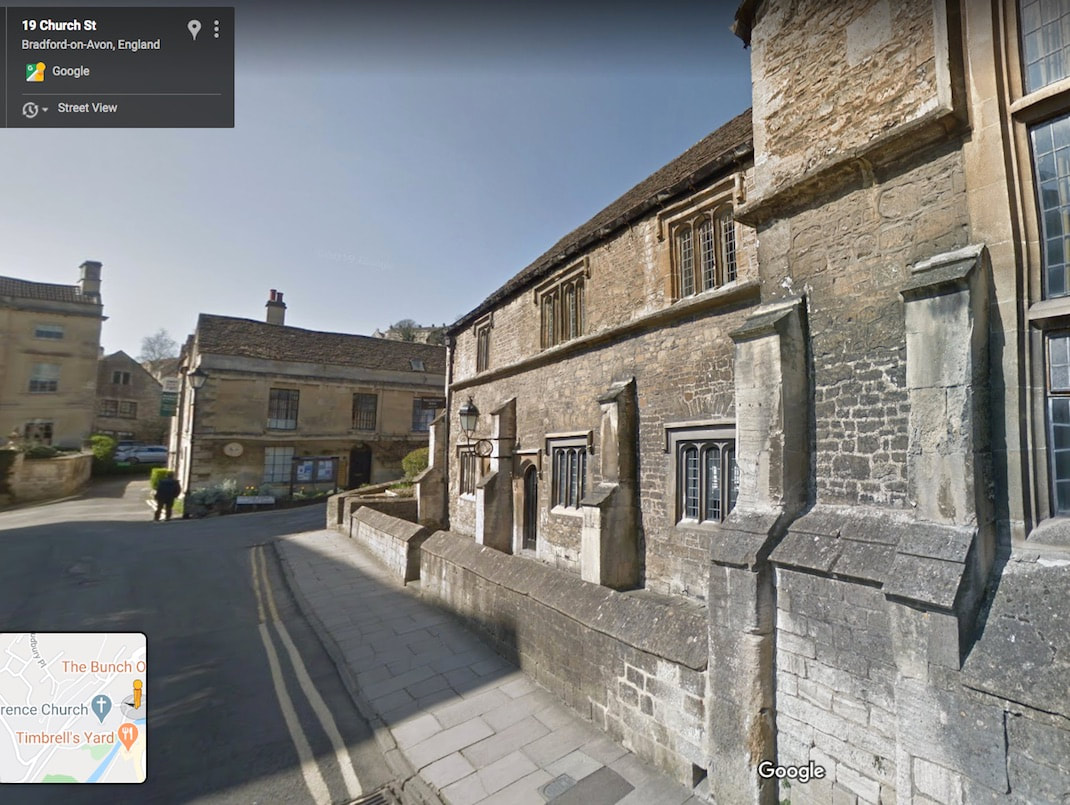
The image below is the current Google Streetview in Church street and the image below it is the same view in 1011.
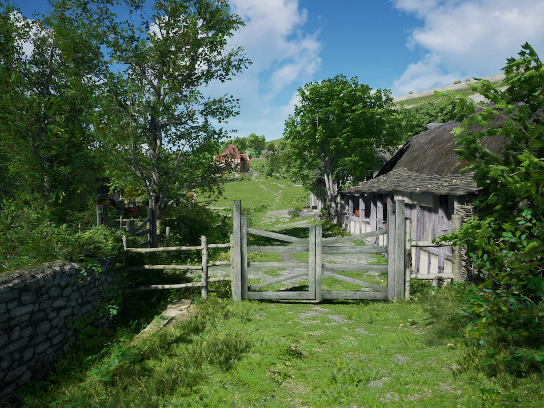
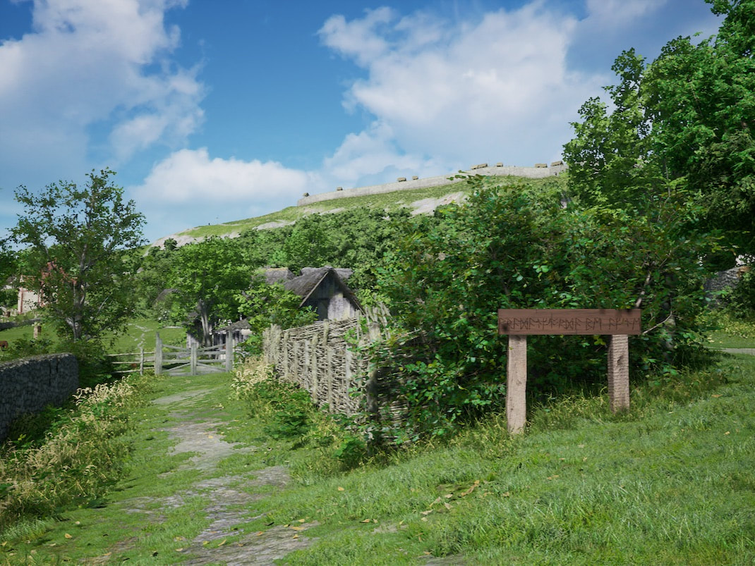
In the image above the red building up in the middle distance is the Saxon church. A gate across the road is shown at about this location on the Andrews and Dury map of 1773, which is a near enough is good enough copy of a map of about 1500. This gate is necessary because up ahead is a common green with grazing animals.
|
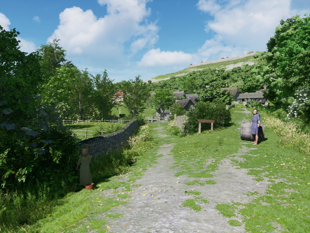
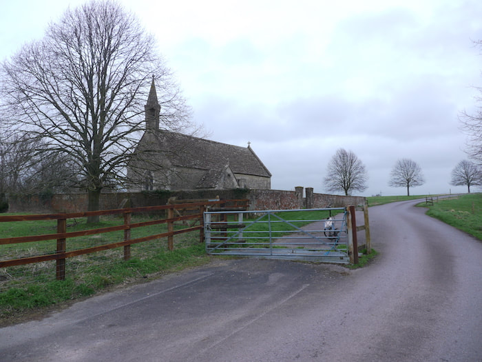
The image on the right is of Whaddon near Trowbridge. This very small village has a layout that's changed very little since medieval times. It's a survivor that shows the feel of the then relationship between the village, a gated common green, and the church.
|
|
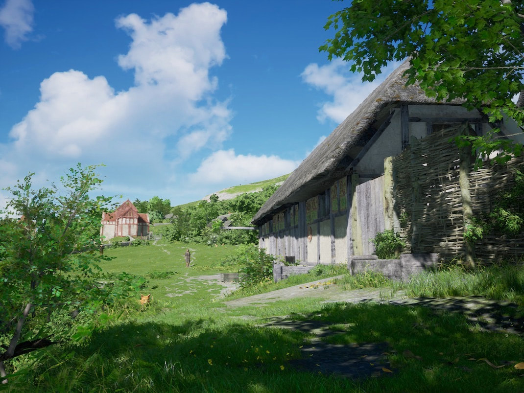
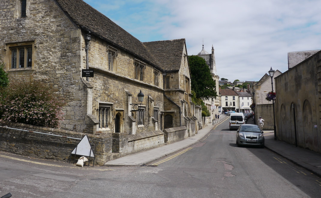
The image below is the current Google Streetview of Church street and Wallingdon hall. The small garden next to the hall was the site of a pub up until 1871 and was the last remaining use of a pub on any of the greater Wallingdon hall site. The image below this Streetview image is the same view in 1011. Based partly on this prior use, and using the extremely useful advantage of being able to walk around inside the 3D reconstruction and assess it, and then discuss many of my conclusions with the late historian and archeologist Andrian Powell. The greater Wallington hall site is I think commercially, the most viable prime site for an inn and brewery. A use that would have evolved and grown organically, as the site is best placed to take advantage of all the relevant trade footfall. I'll outline the nature of that footfall in a later entry, but some of it will be self evident here.
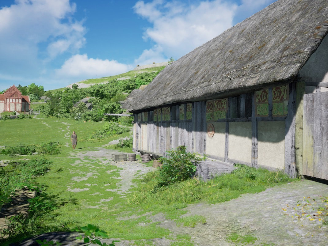
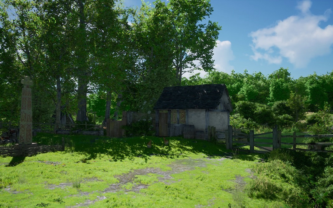
So looking at the image above, a packhorse train traveling this road first sees a small store, (try saying that fast :) The store mostly caters for the packhorse drovers needs (offering shoe repairs, knife sharpening, and selling winter horse feed, rope and nick nacks that packhorse drovers break, lose or run out of on a journey). The modest wooden tiled shop is built onto the side of a larger building, with a thatched roof, which is the inns stable block. On the left of the picture is a cat, so indulge me while we go down to that spot, at that level, to take the next shot :)
Simply because I really like the composition at this angle. In the image above we see the inn. You can also see the painted Saxon church in the middle distance, doing it's best to look like a wooden building, with the same post and rail style as the inn. And as you've probably already noticed, you can also still see the cat :)
The image below is the current Google Streetview in Church street and the image below it is the same view in 1011.
Here we are back at Google Streetview height. The inn is of late Anglo-Saxon generic style, infused with the local information the Saxon church is giving us, with low benches out the front for sitting out on a summer evening. Next, if we pan slightly to the left
and then pan slightly more to the left
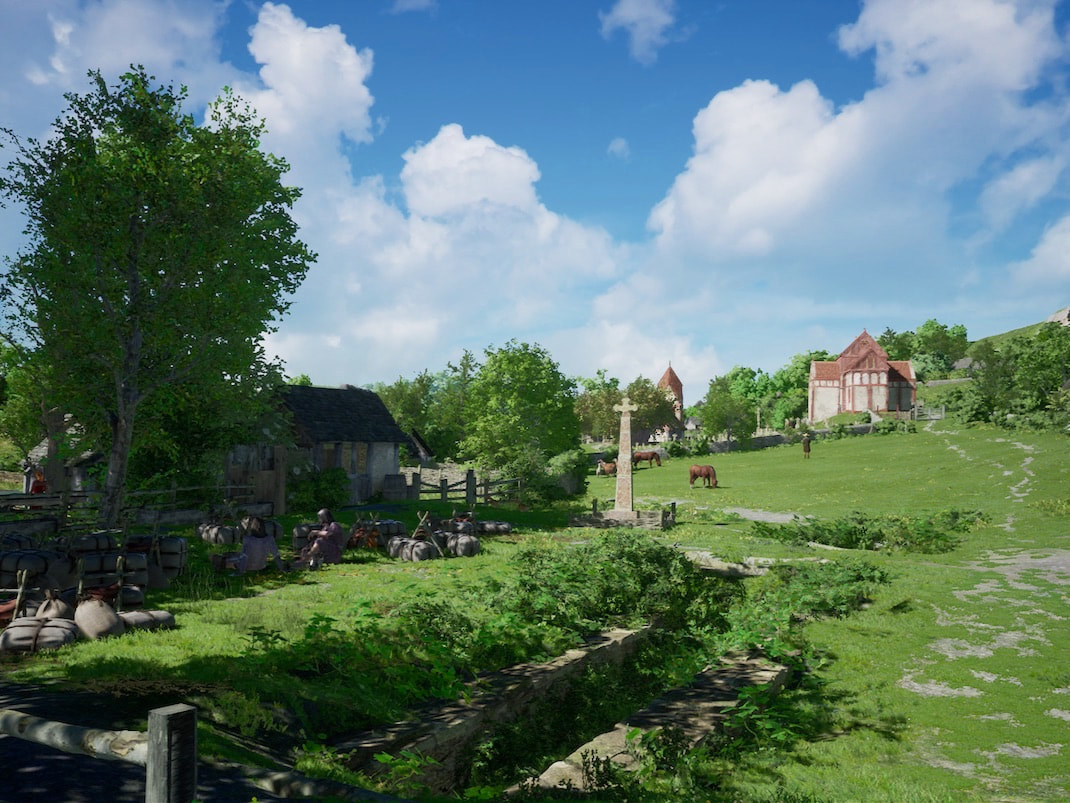
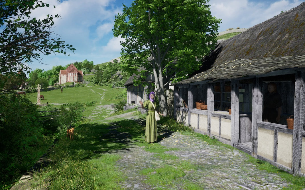
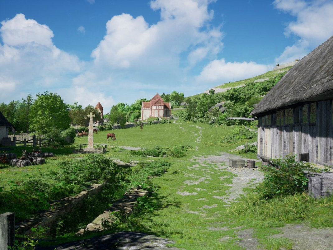
we see above, that on the present site of Abbey mill, there's a market place and packhorse way station area.
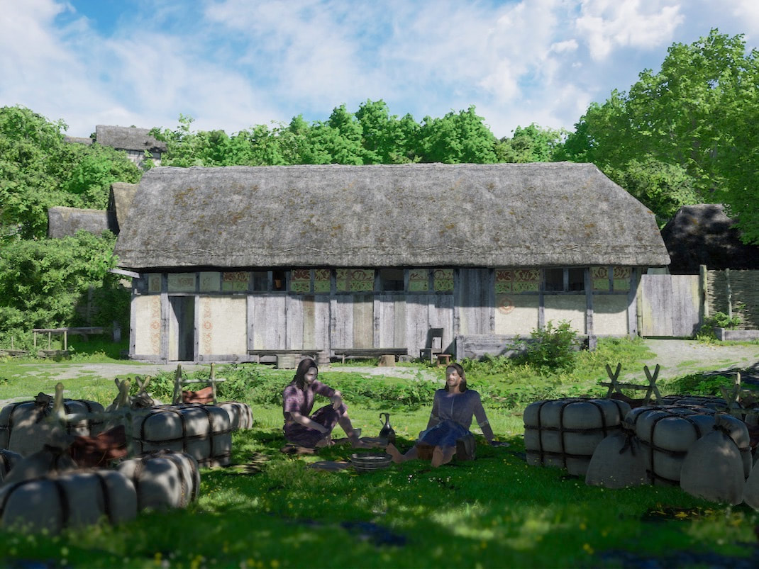
In the image below we're now looking straight on at the inn from a spot that's right inside Abbey mill today. In the foreground we see 2 packhorse drovers having lunch, surrounded by their load. As we'll see later, their unburdened mules are sitting, or lying flat out exhausted, in the adjoining paddock.
The image below is a view in Church street of the old church hall (currently called Wallington hall) and the image below it is the same view in 1011.
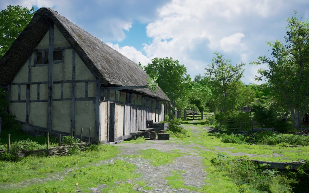
Here we can more clearly see, that attached to the pole sticking out from the inn, is a sprig of fresh leaves, that tells everyone who's interested, that some beer is freshly brewed (though my suspicion is, at times a wilting sprig was changed more often than the beer was brewed :) Looking at the gable end you can see the inn is a single story building, built straight onto the slope. You enter the front door and climb a few steps to the single wooden floor, which is level with the back door.
We'll pan slightly to the right next
We'll pan slightly to the right next
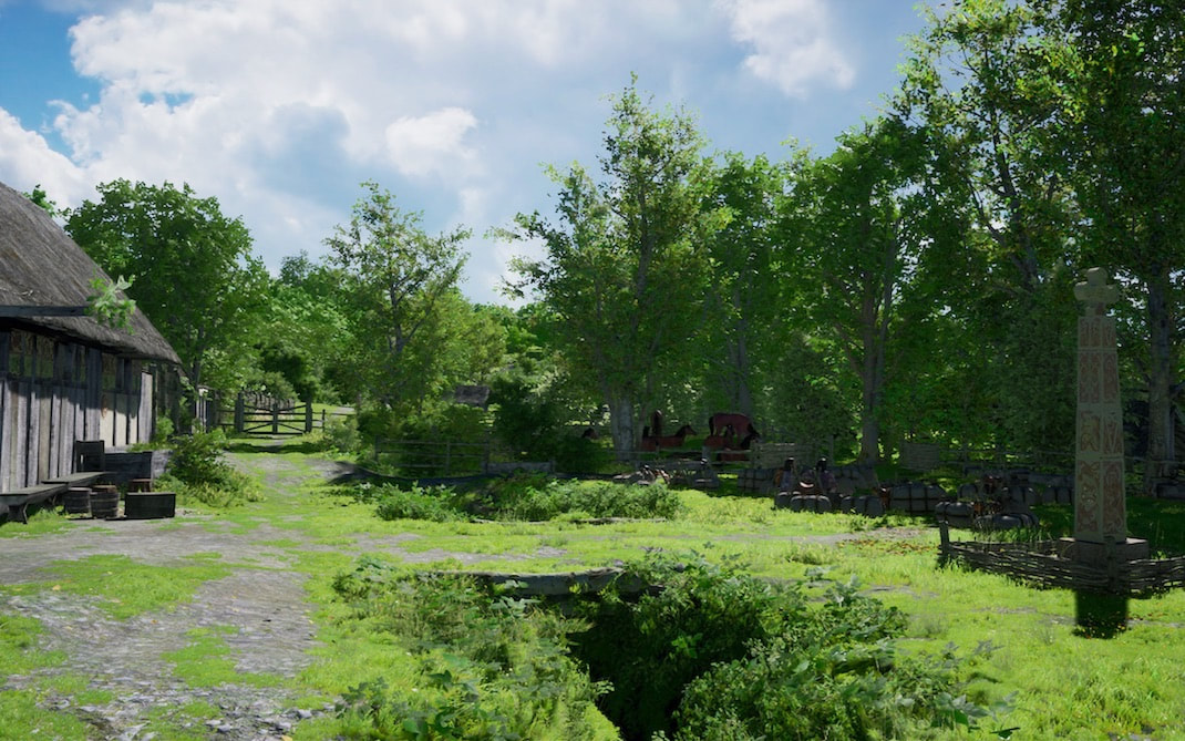
to show (above) more of the way station and the far paddock full of exhausted mules.
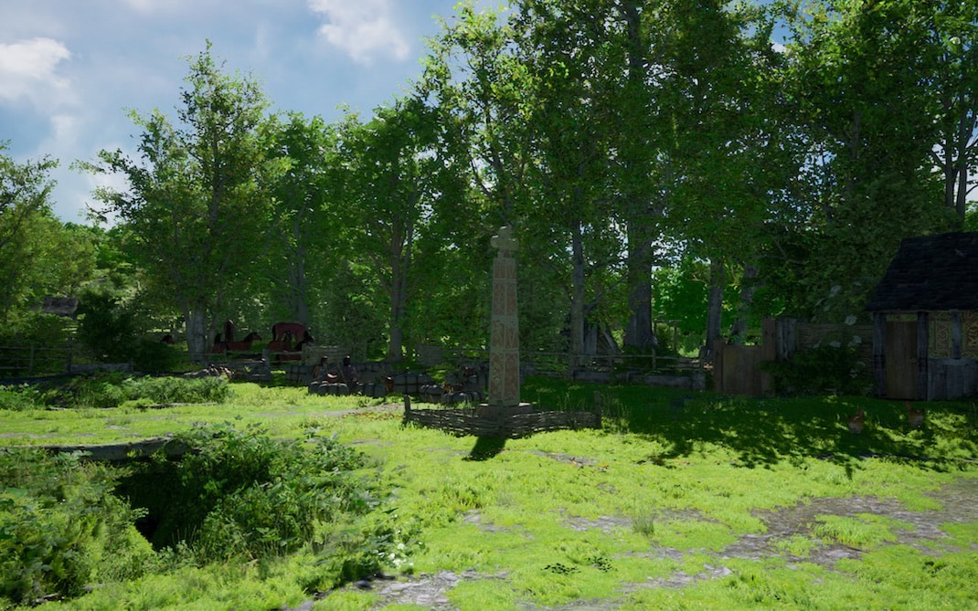
Above we see all these trees offering shade for the way station and market, and they also break the force of the water in a flood, limiting the damage down stream to both the port.....
..... and the ford.
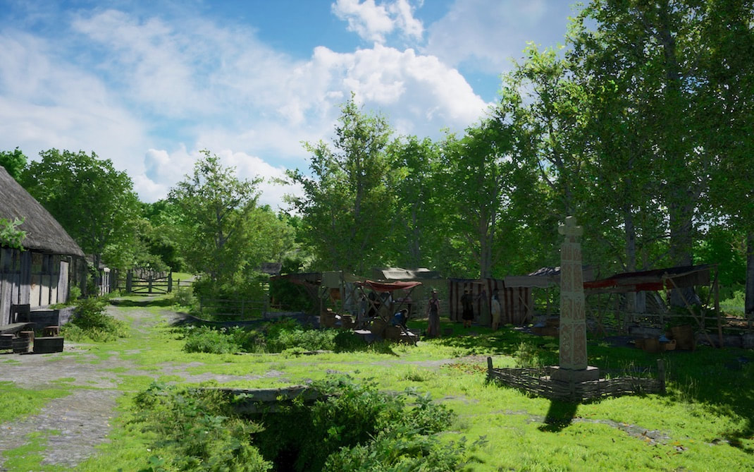
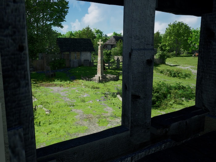
In the image above we've panned back to see the same area on a market day. Not a very grand market I'm afraid, because of the Viking raids on England, trade and the whole money system are going through harsh times. Though their strong self sufficiency means that compared to today, their lifestyle and systems were very much more robust than ours.
|
View from a table, while having lunch at the inn :)
|
|
back to HomePage.
