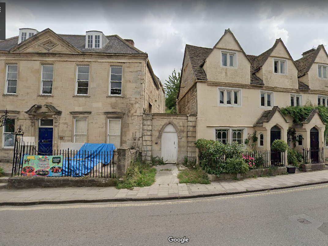
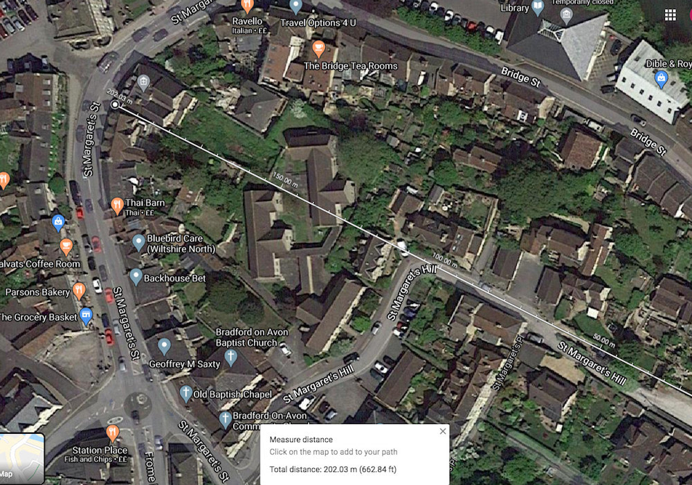
St Margaret's Street
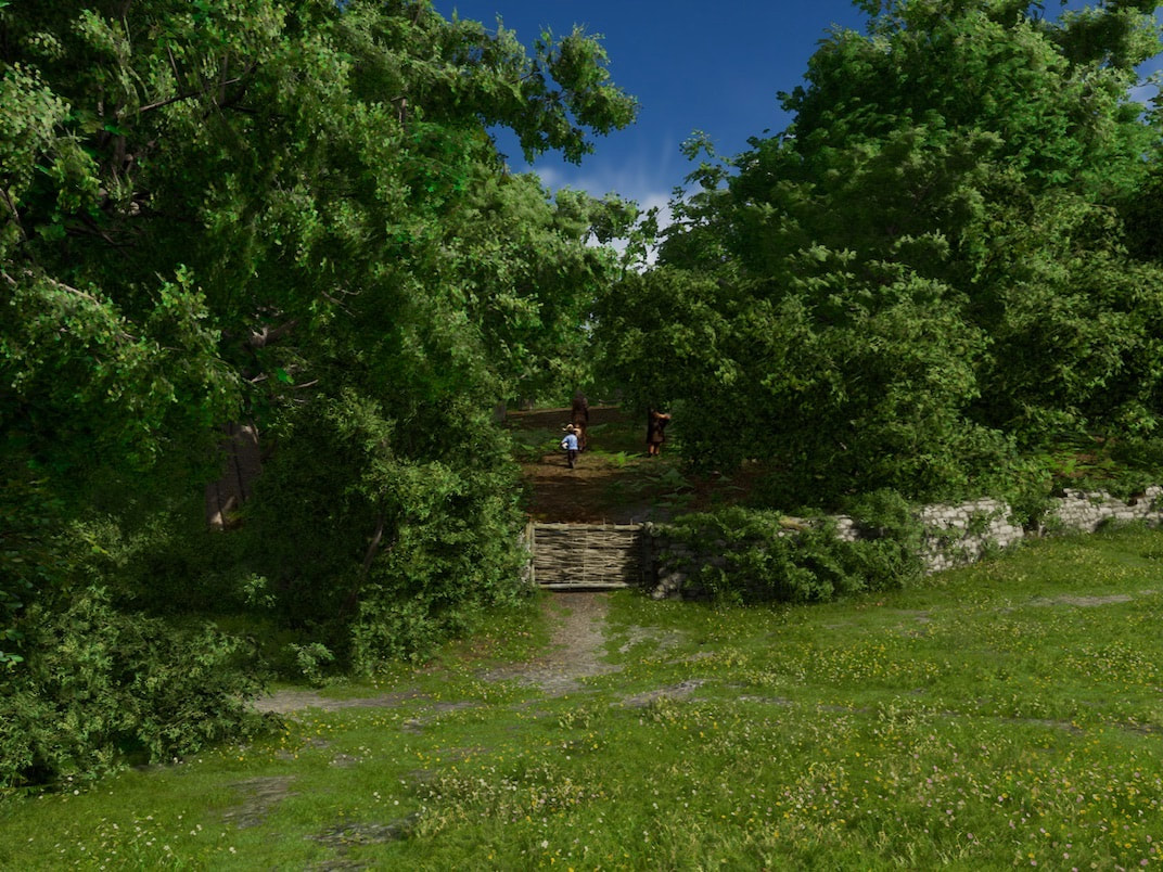
Top image is a view of the timber extraction path in 1011, that I think is now the gap between the houses seen in the bottom image, which is the same view today from Google Streetview.
Below, same area, slightly different view looking up St Margaret's street. In 1011 and today in Google Streetview.
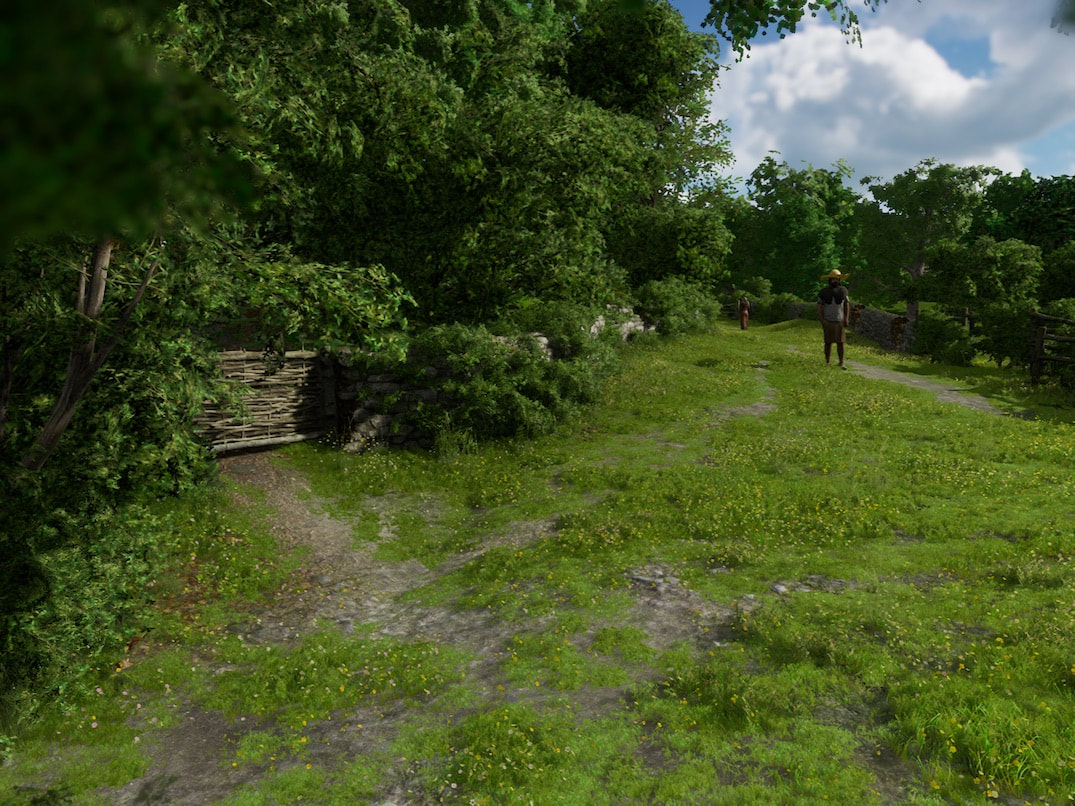
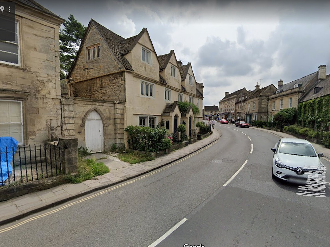
As you can see on the Google map below, the gap between the 2 Shrapnell houses on the streetview image above, with it's arched doorway, aligns with the main route over the hill to the scout hut and the path on through the Strips. In the 1011 images we see this gap as a timber extraction path, for a coppice, enclosed by stone walls and wattle reinforced gates, all to contain pigs.
|
The earliest use for the land bounded by St Margaret's street and Bridge street, is recorded on a tiny part of the Andrews and Dury map of Wiltshire (published in 1773 & 1810). (See pic on the right).
They copied a much earlier map of B-o-A from about 1500 and added a few contemporary features to it. This map shows the area with no buildings, but instead, it has a shaded area indicating a covering of trees. A coppice. |
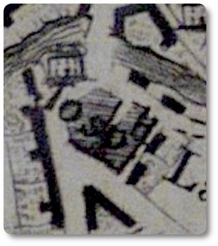
Included by kind permission of Wiltshire History centre.
|
This area immediately south of the river has no signs of Anglo Saxon settlement, and although it was valuable land, it had no refuge in case of invasion or raiding, so wasn't occupied.
back to HomePage. |
|
